Adventurous Couple Session | Mount Rainier National Park, Washington
September 20, 2023
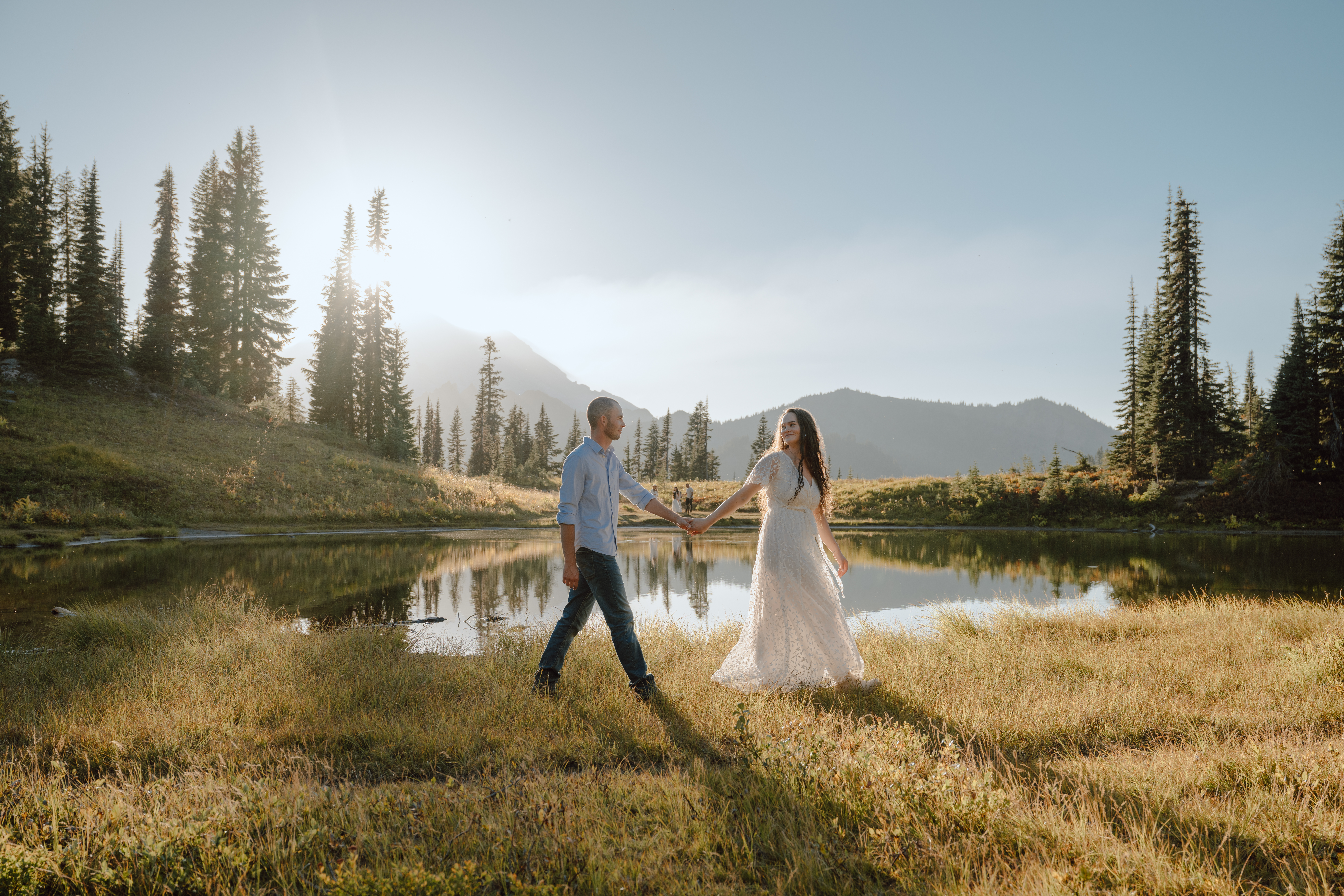
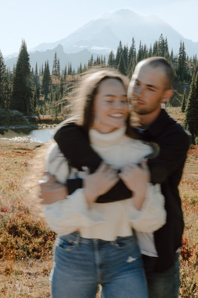
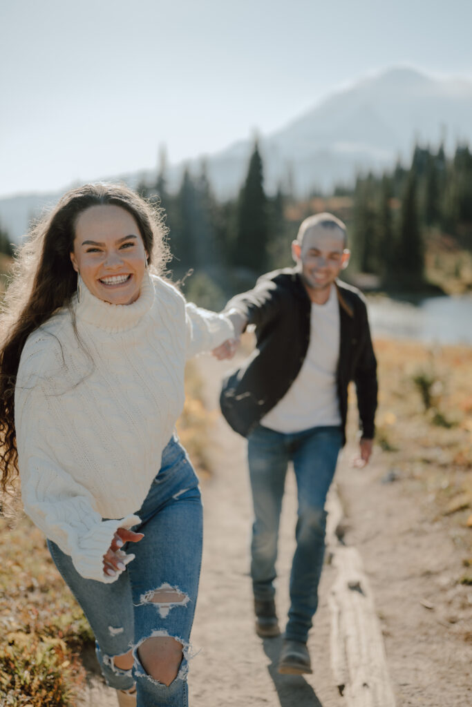
I couldn’t have dreamt up a better couple for this adventurous couple session in Mount Rainier National Park, though Clementine was certainly skeptical about the hiking part!
Clementine and Jace actually went on a hiking date within the first few months of dating and they both thought it could be the end of their relationship because of how much they realized they differed on their “ideal dates.”
Luckily, the trail we ventured out on – Naches Peak Loop Trail – was fairly easy (3.5 miles, 500-feet elevation gain) with basically non-stop *heart eyes* VIEWS!
Mount Rainier
Mt. Rainier NP has five entrances and multiple visitors’ centers. Coming from Issaquah, we entered through the northeast corner of the park. There were no pay stations or visitor centers coming in this way, and we lost cell service about an hour before we hit the entrance.
Naches Peak Loop Trail
WHY NPLT: We chose Naches Peak Loop Trail for the balance of views and level of hiking difficulty, but also for the numerous photo-worthy stops that we could make to add variety into Clem + Jace’s gallery.
PARKING: You can search for the trailhead on Apple and Google Maps (before you get near the park and fully lose service). There are a number of places to park and a few different places you can jump onto the trail since it crosses over the road. The official/best parking lot is the first one on the left before the map’s final destination. Coordinates: 46.86994º N, 121.51946º W
Hiking
HIKING: You’ll want to hike the loop clockwise for the best views of Mount Rainier on the second half of the loop. We started our trek around 3:00pm (this is in mid-September) and had a good mix of sun and shade along the way, taking photos at four different locations and watching the sun go down over Mount Rainier around 6:30pm.
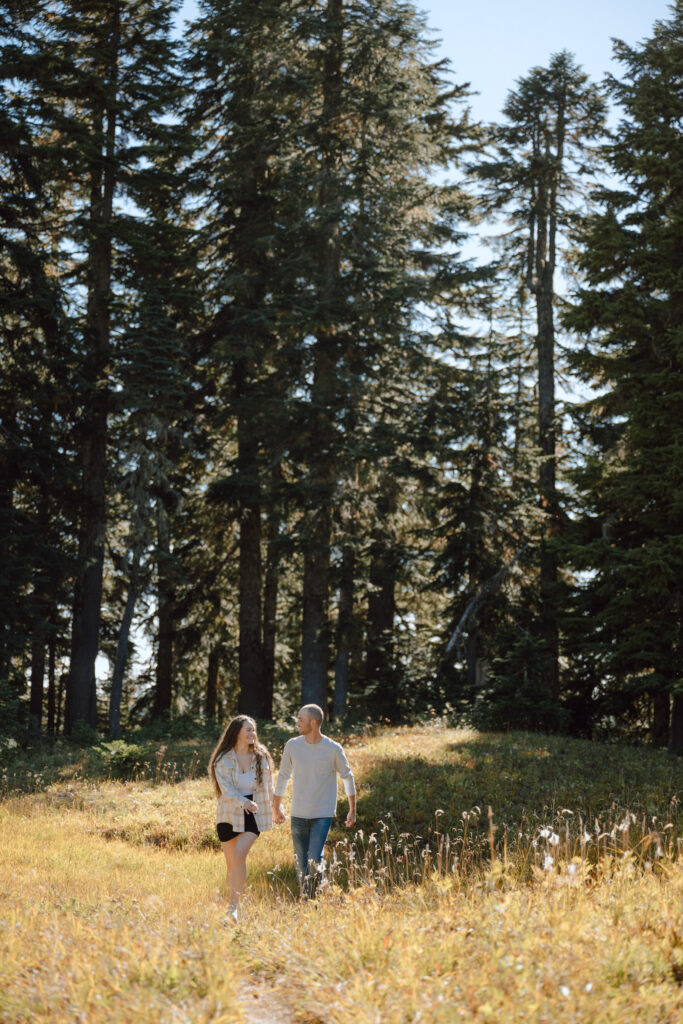
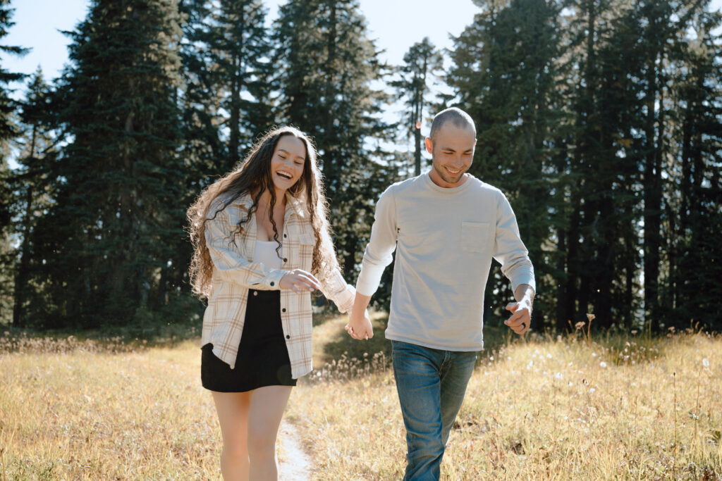
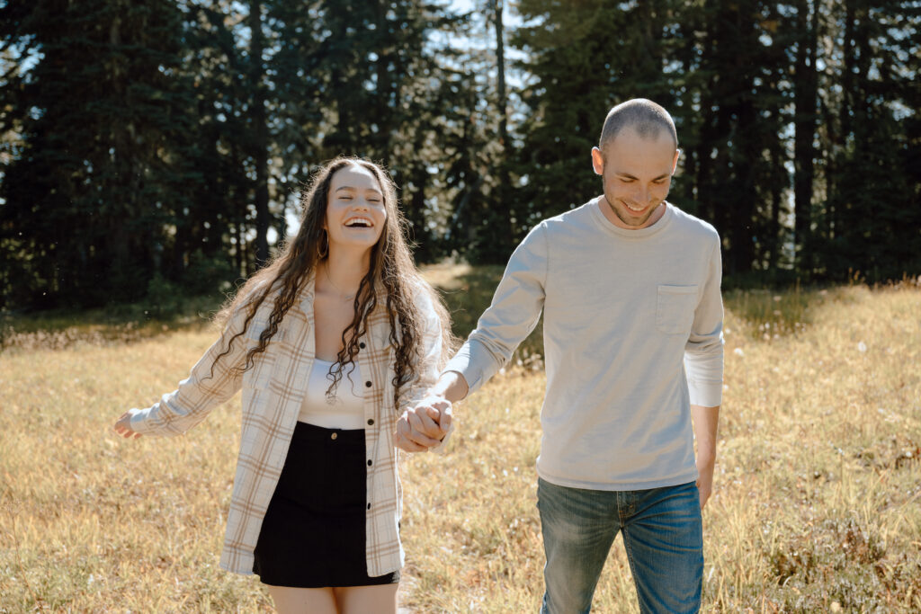
Photos: Stop #1
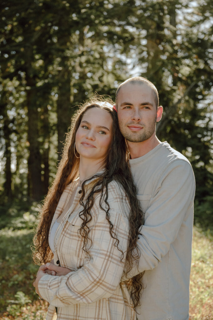
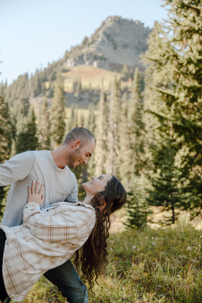
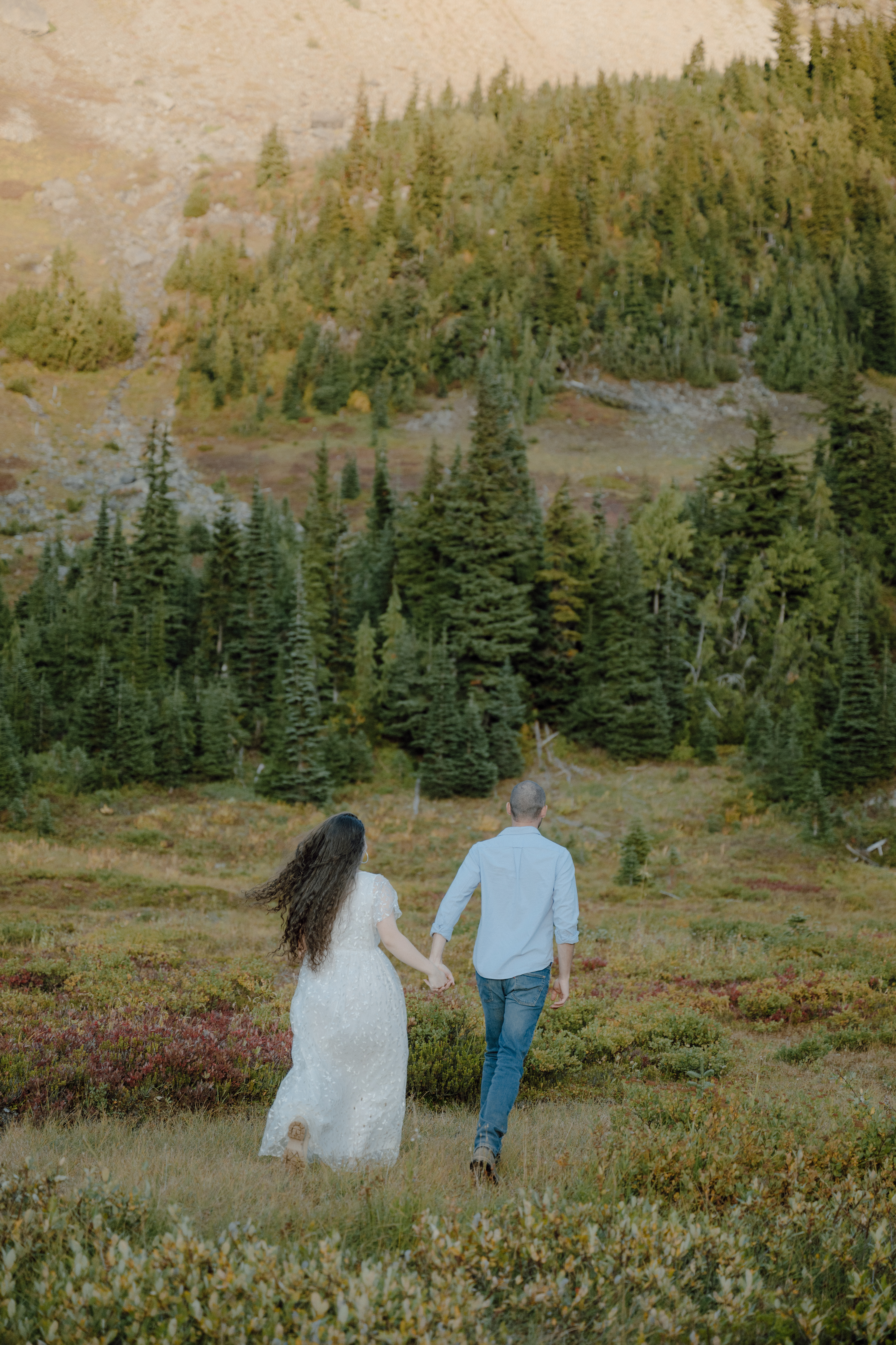
The first stop we made was a few minutes into the hike, right over the first hill, in this little field to the right.
Photos: Stop #2
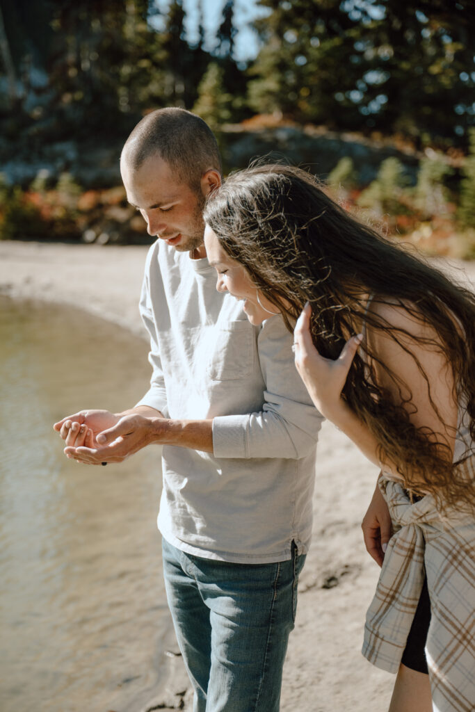
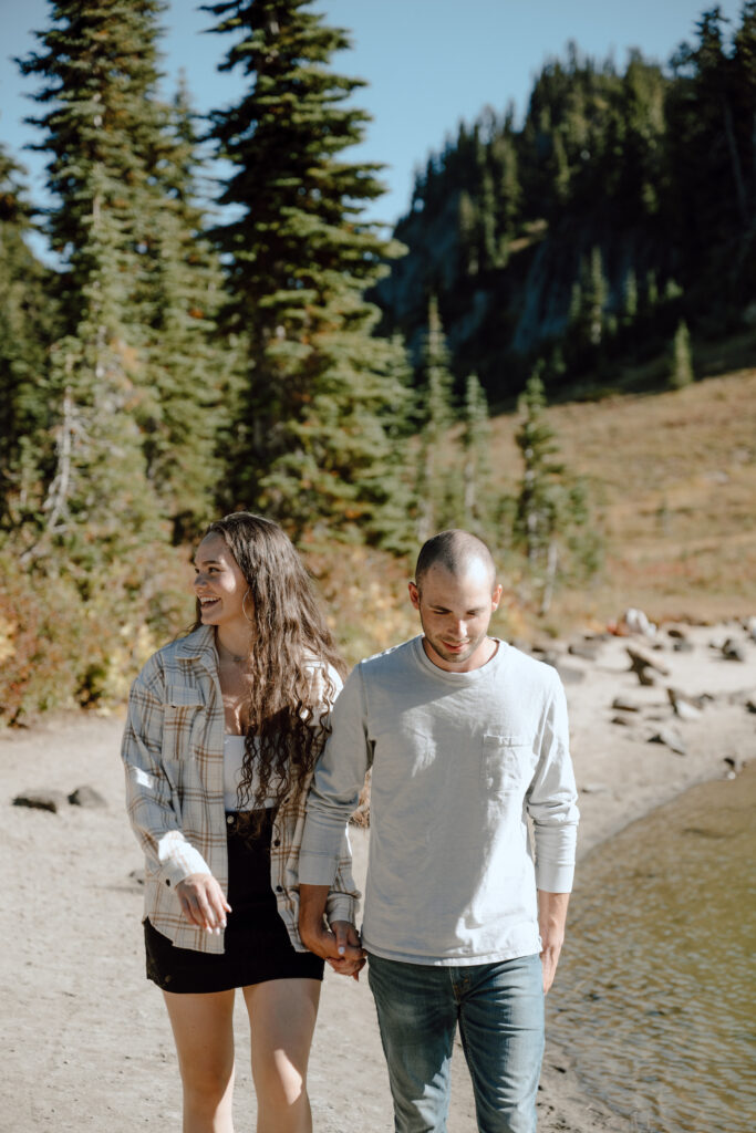
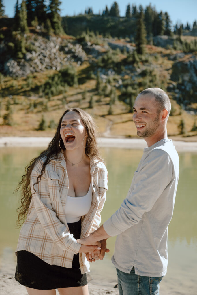
We hiked for 20-30 minutes before coming up on this pond where we found tadpoles and little frogs!! The light was harsh (4:00pm) but we made it work!
Photos: Stop #3
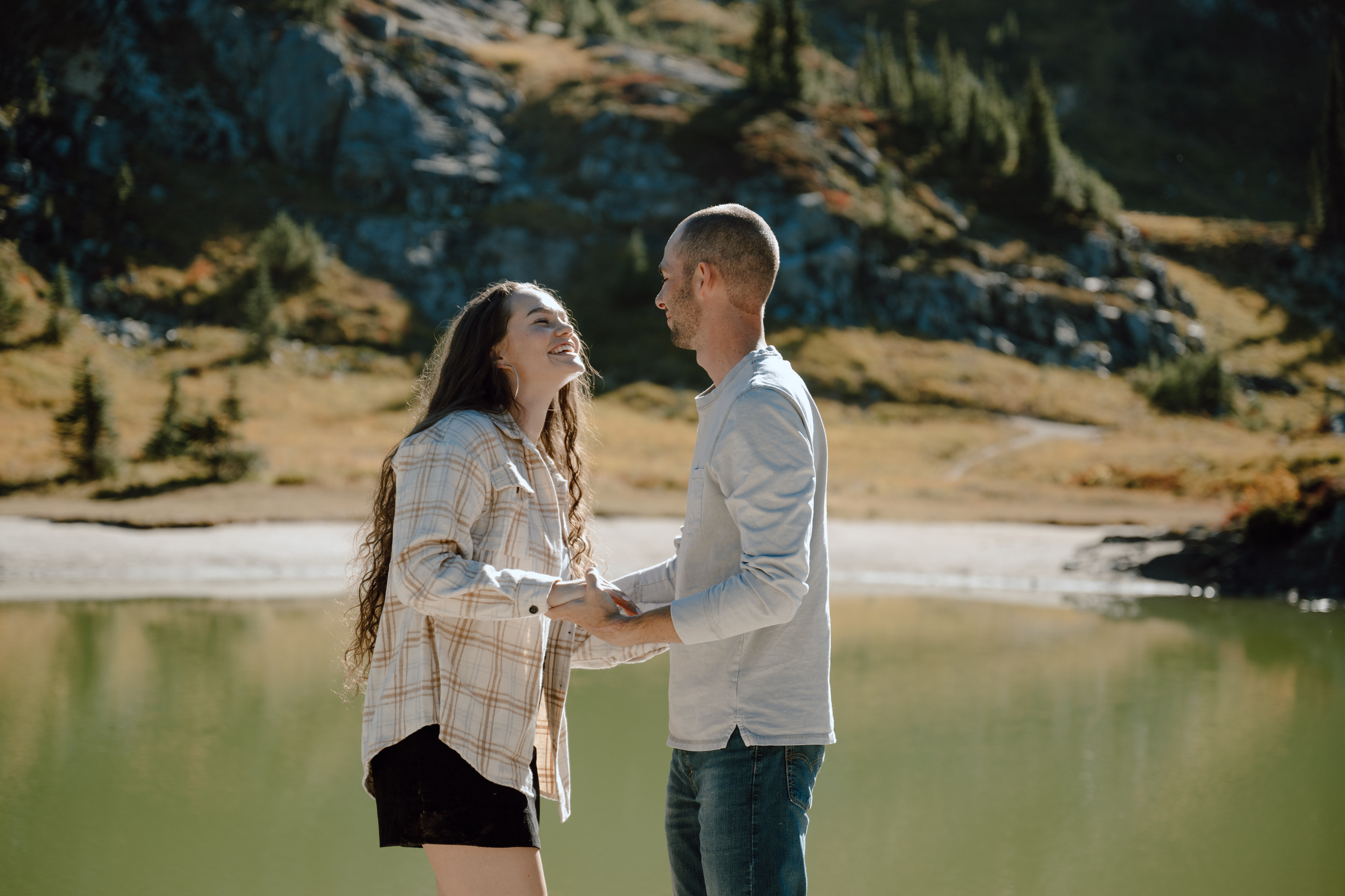
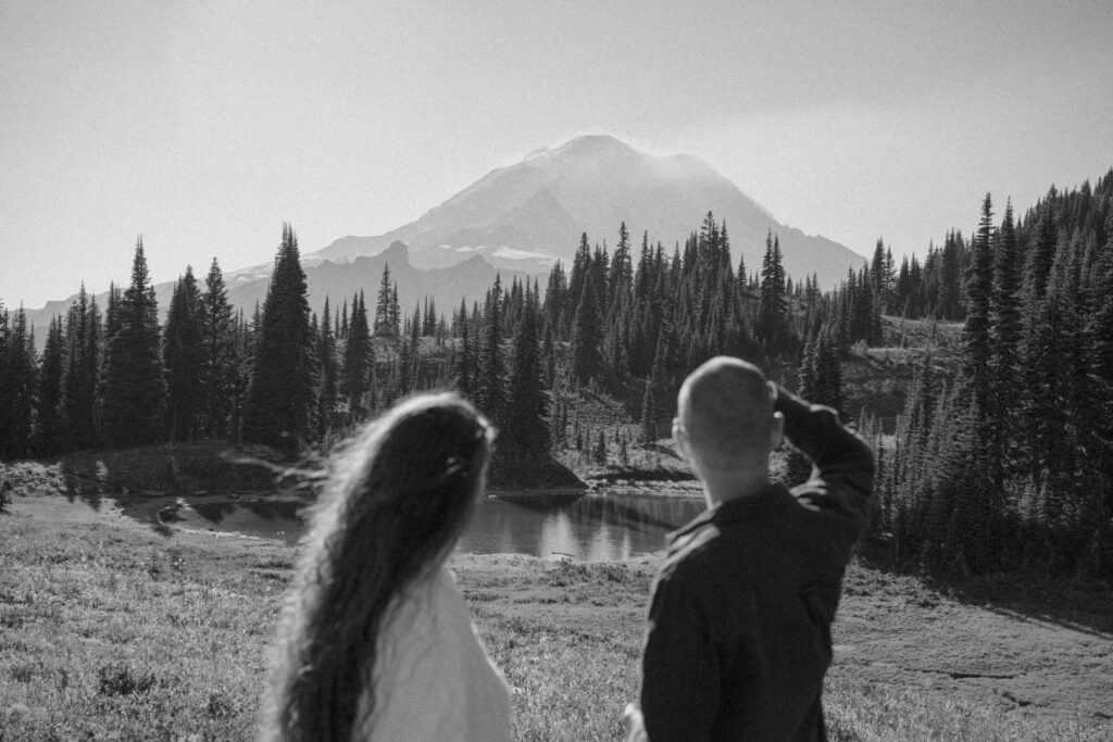
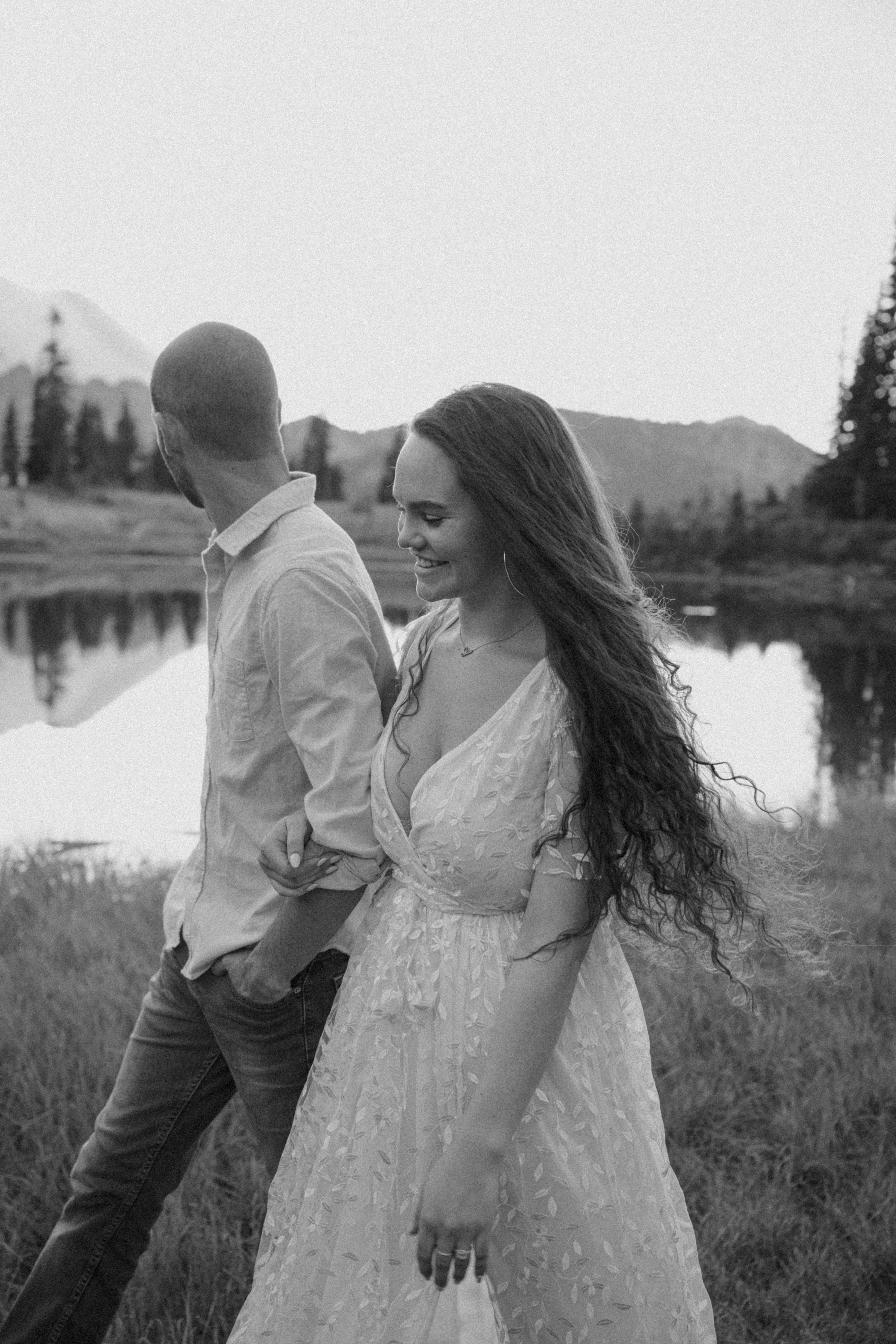
Our next stop was another 20 minutes of hiking from this pond, passing the turn off for Dewey Lake, and heading toward Lake Tipsoo.
I don’t think this lake has a name, but the coordinates are 46.86237º N, 121.49881º W.

Photos: Stop #4
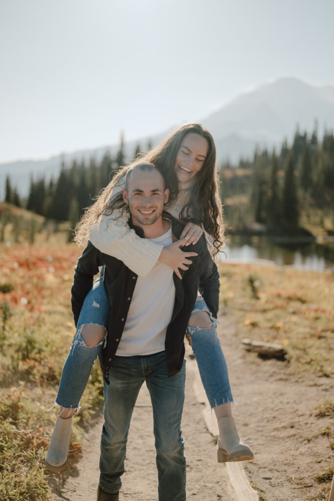
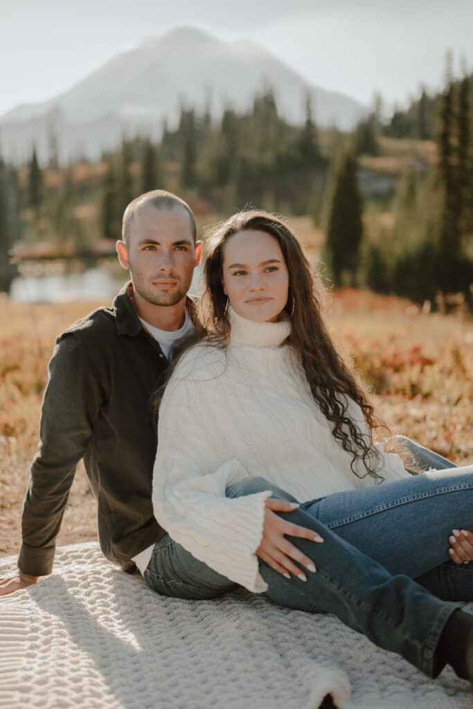
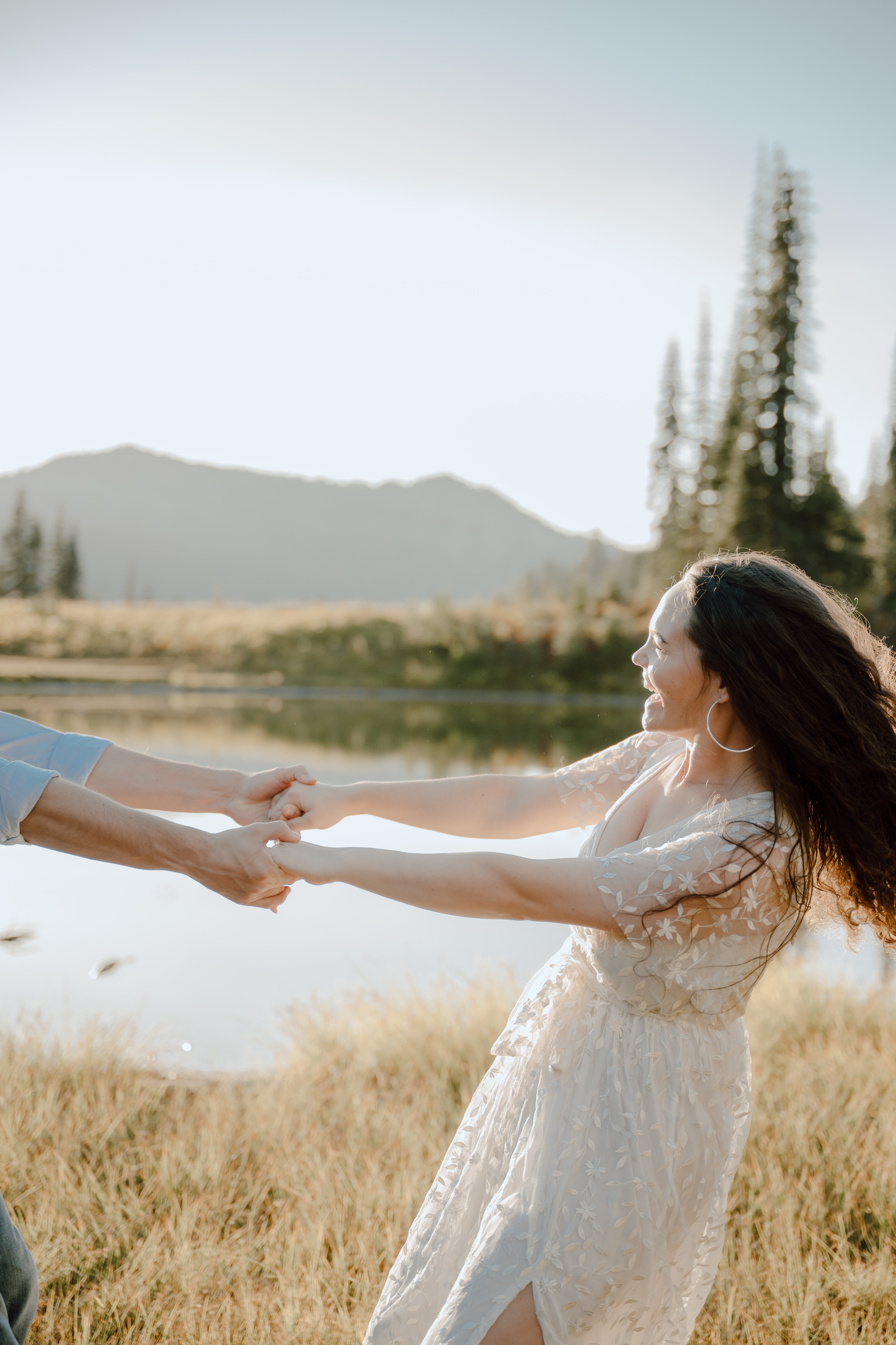
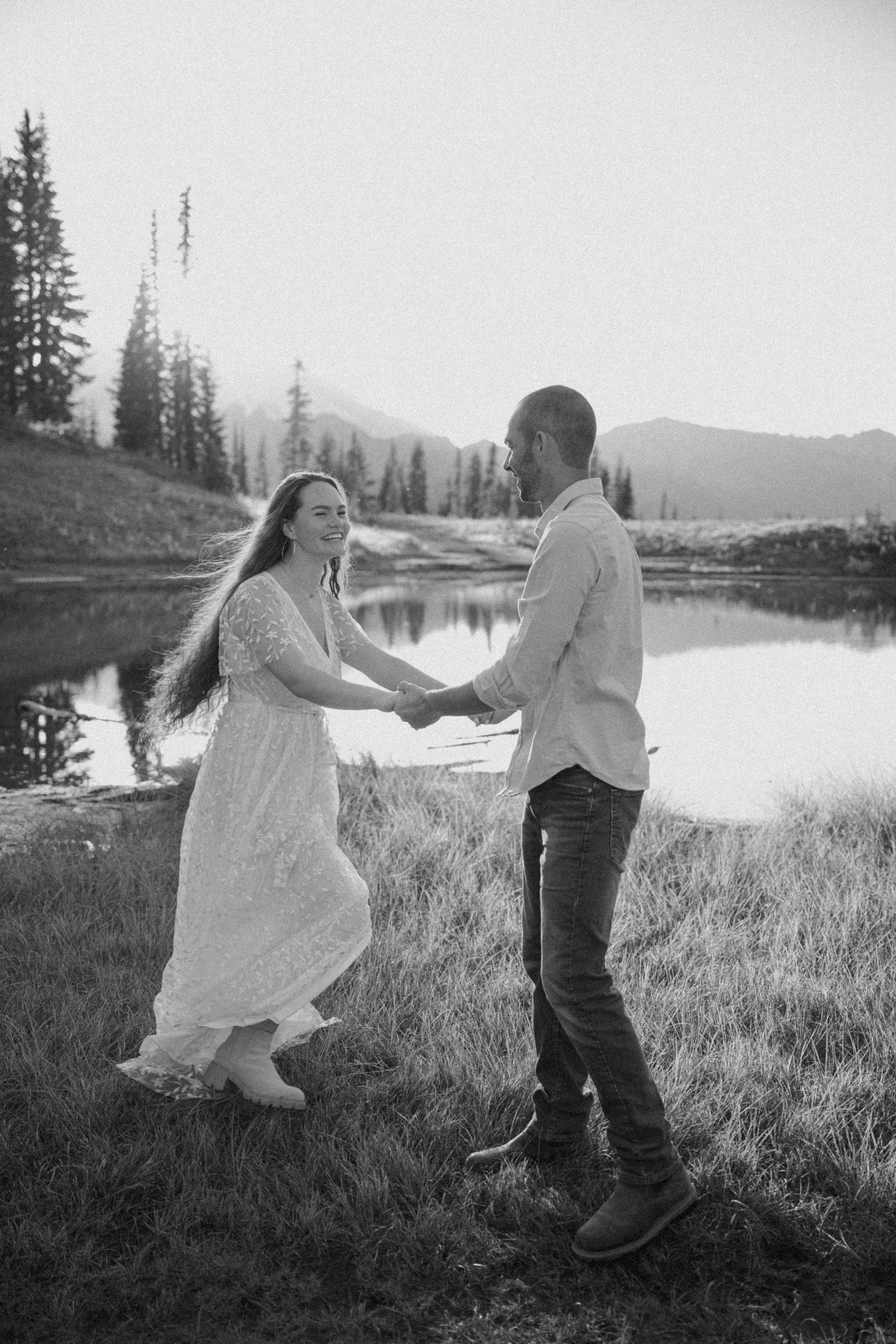
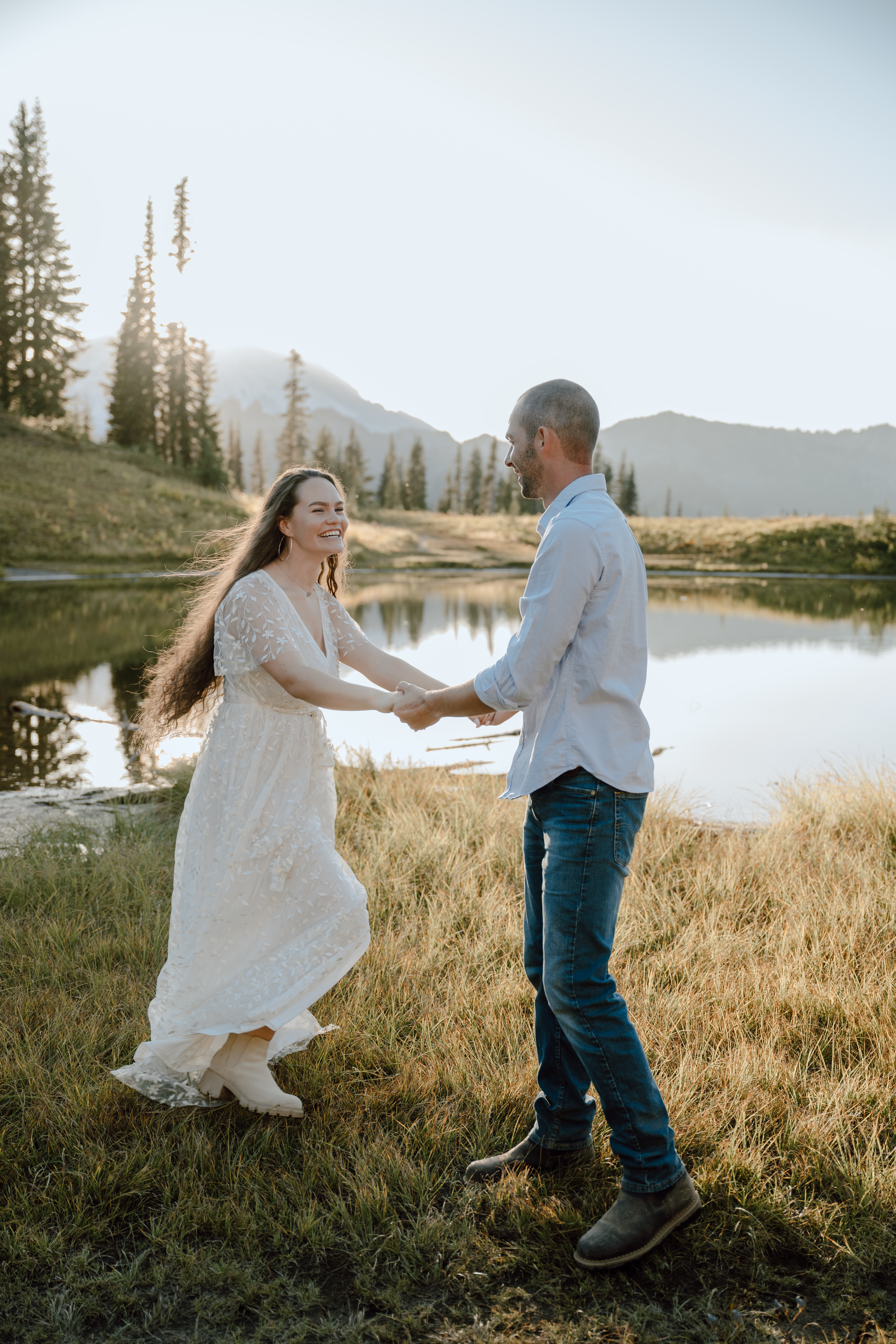
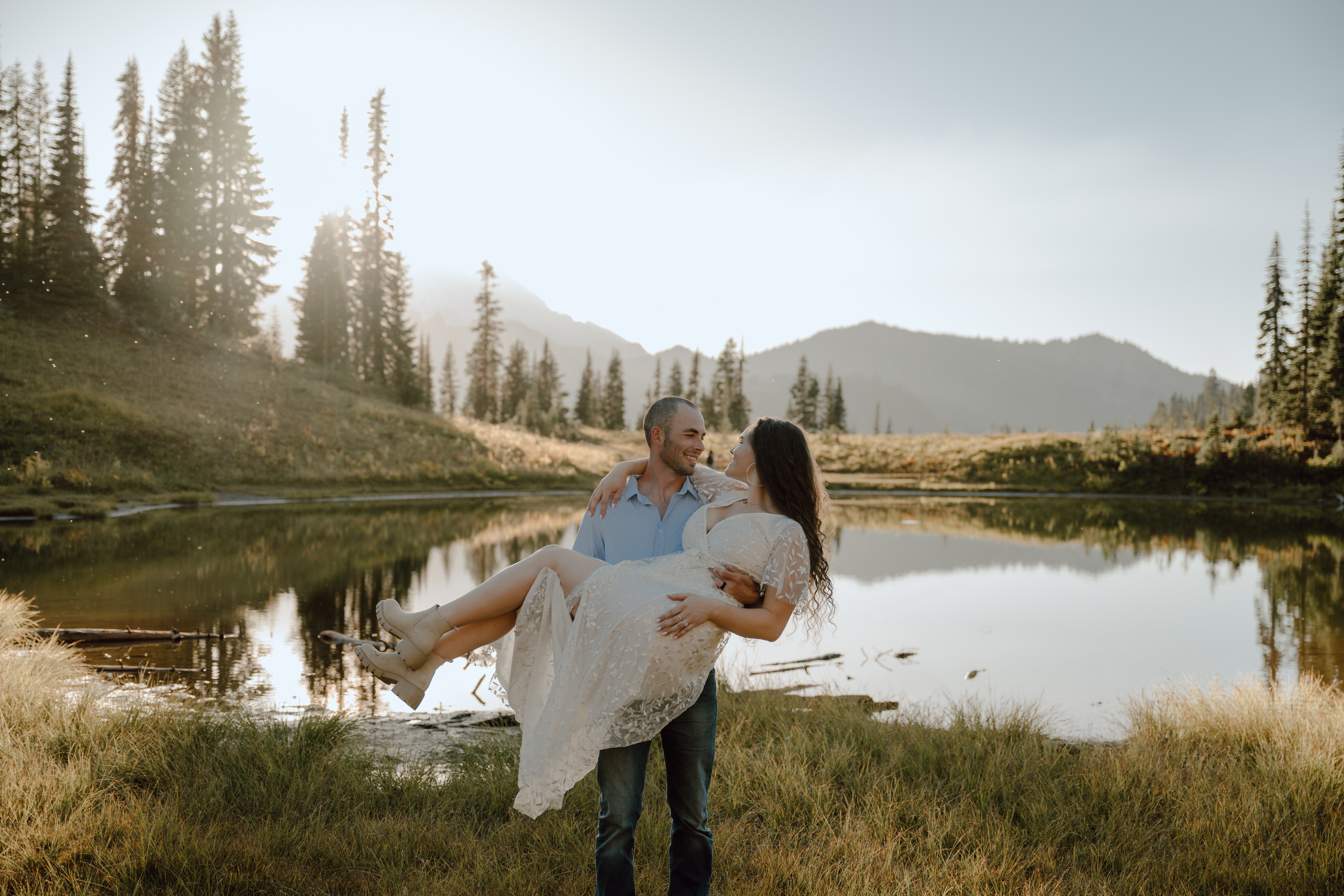
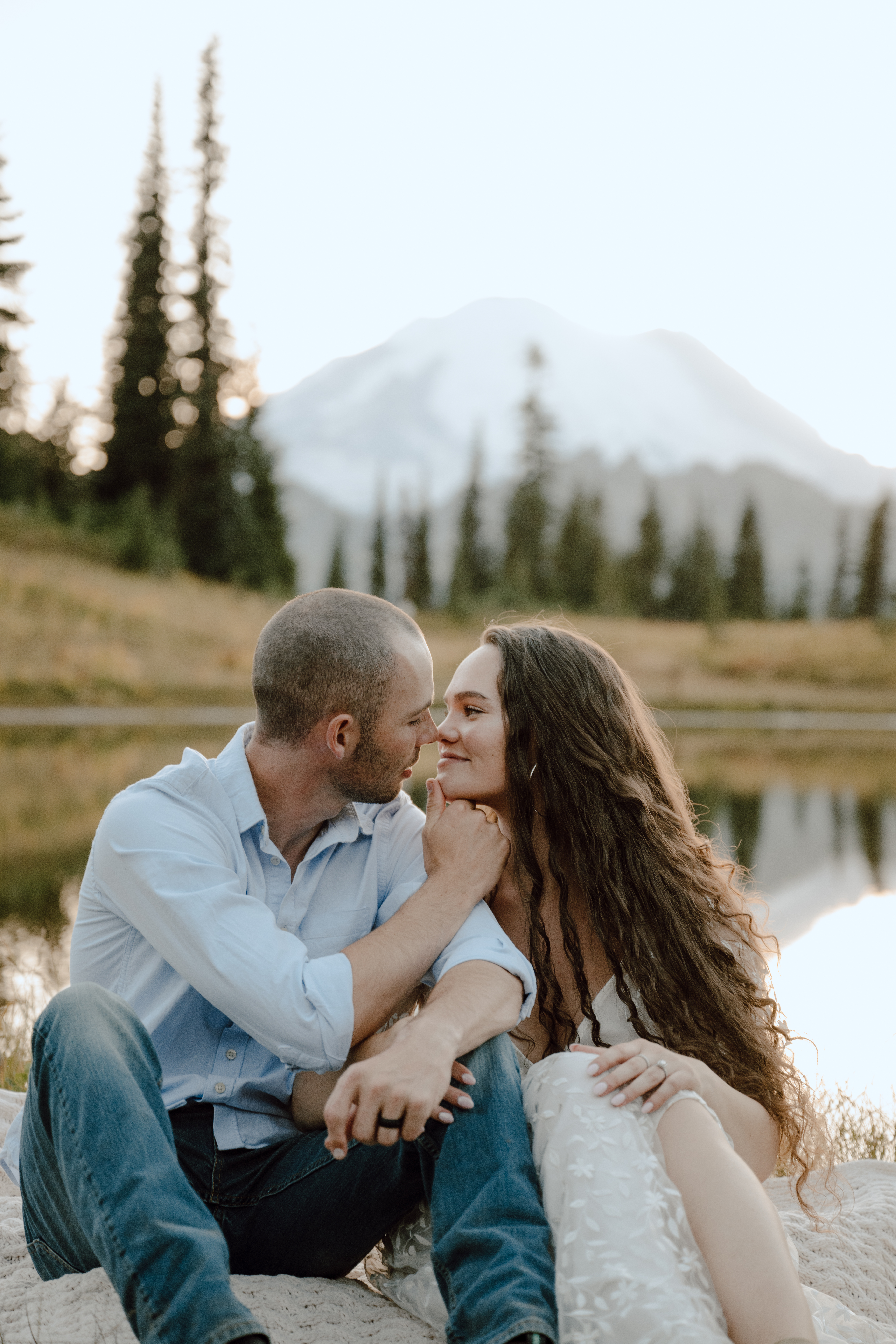
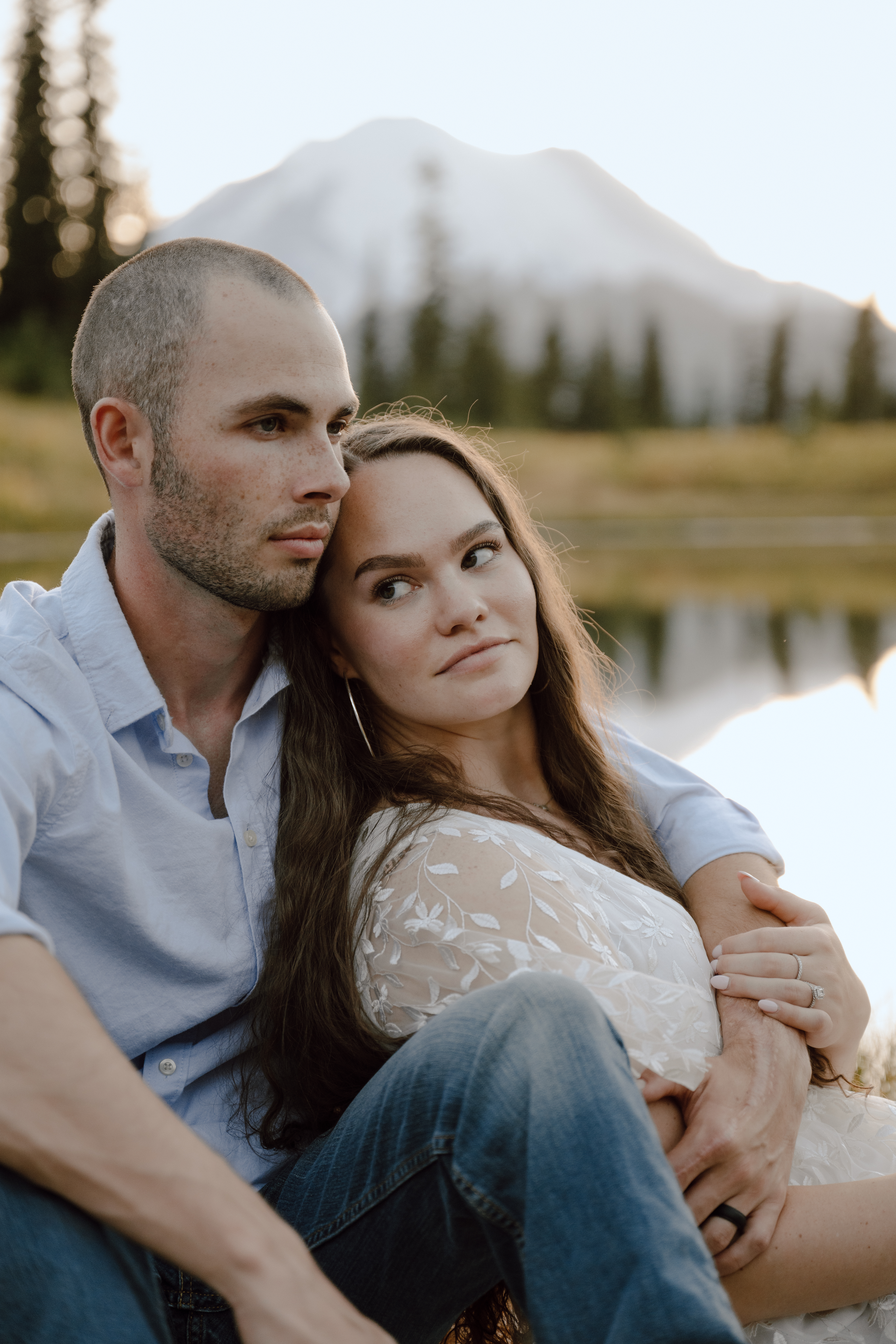
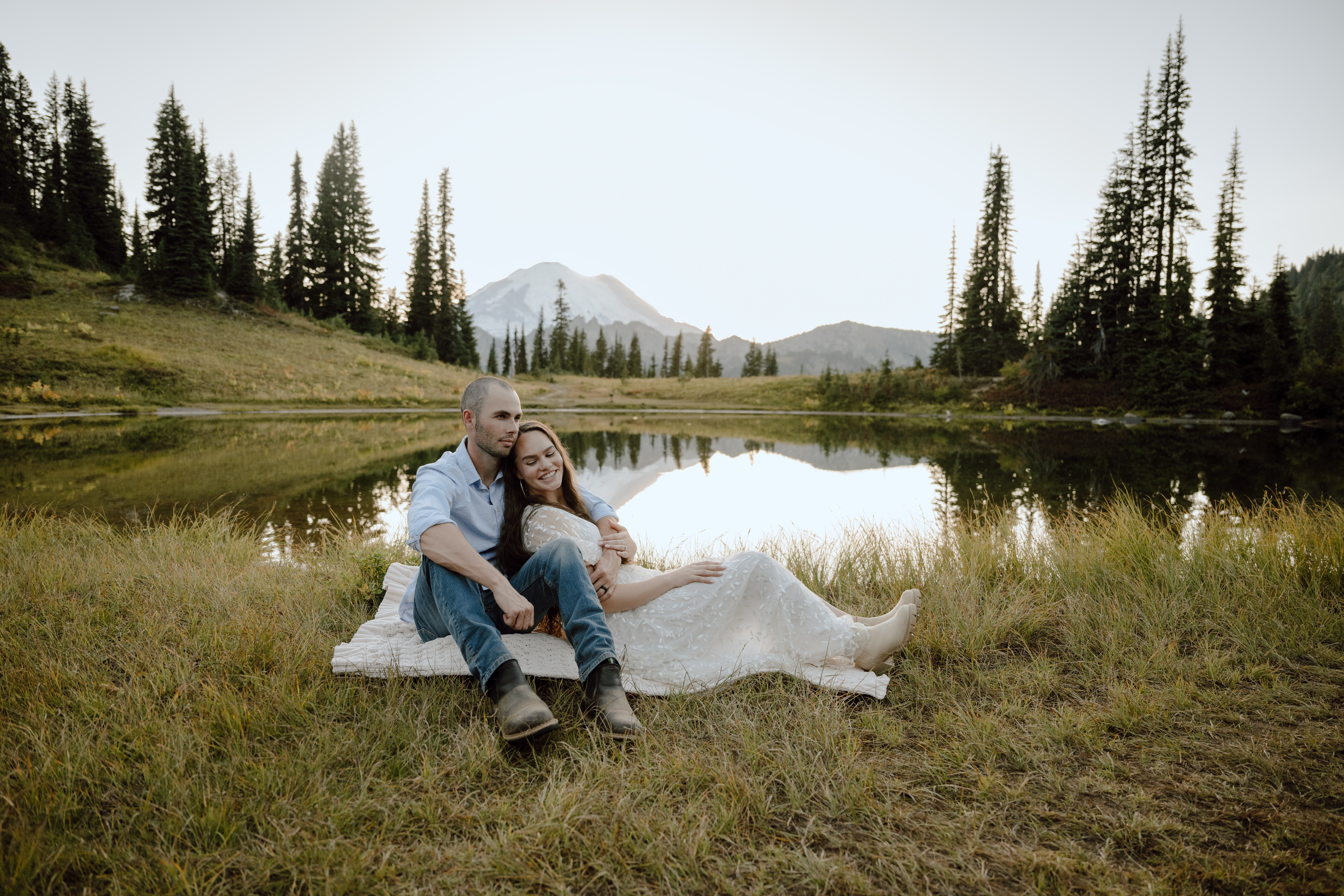
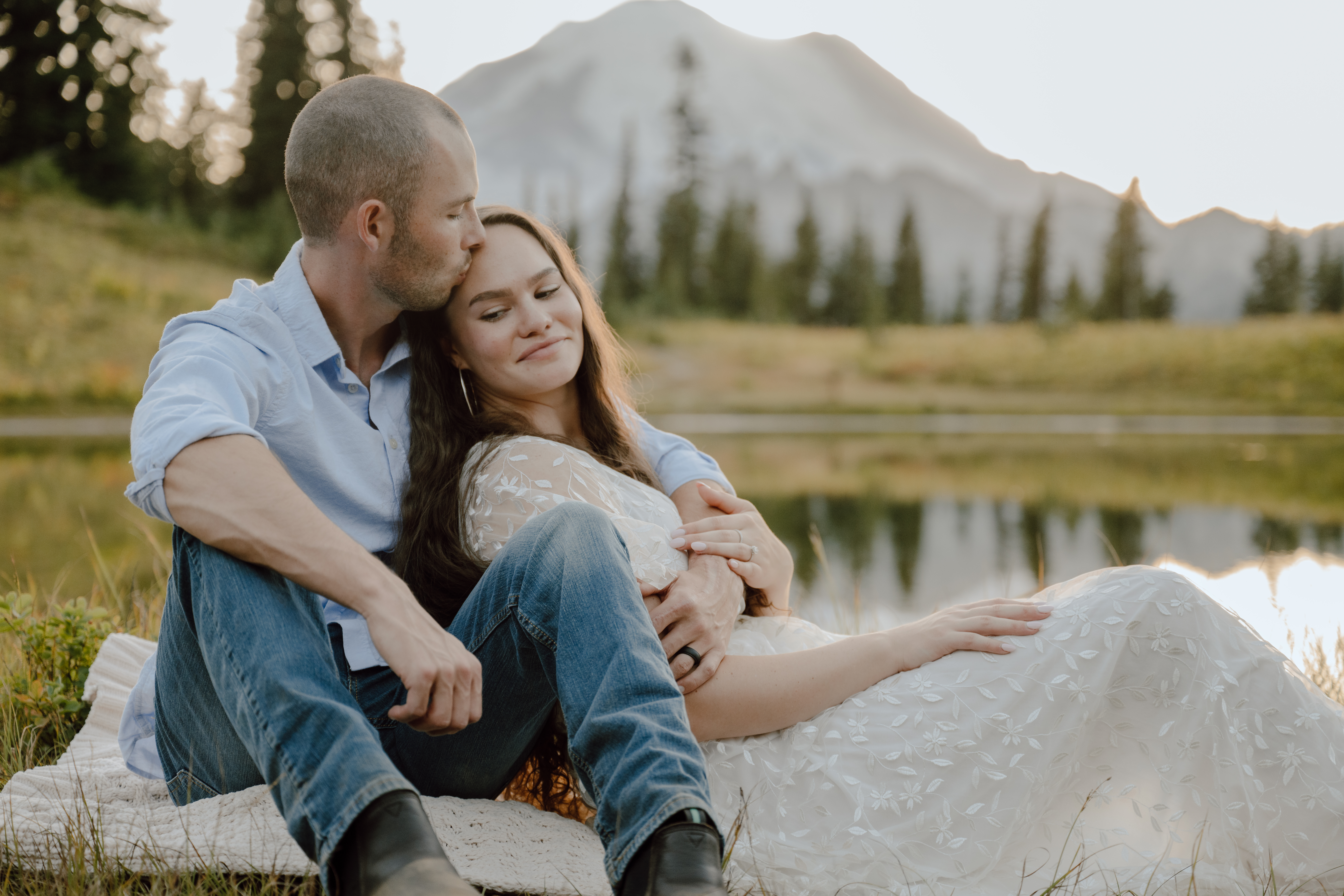
Lake Tipsoo! It took about 30 minutes to hike from the last stop to our final location, Lake Tipsoo. And we were not alone…there was an elopement and many family sessions taking place at the lake/nearby.
This was definitely THE stop and it’s at the end of the clockwise loop hike, so you don’t actually have to do the hike at all if you just want to take photos here. You can park nearby and walk a short distance to get here!

Recommendations
If you’re going for the adventure + photo combo in Mount Rainier National Park, the Naches Peak Loop Trail is great for views and not difficult to hike.
If you just want to go straight to the photoshoot, you can park and walk across the street to Lake Tipsoo. However, if Lake Tipsoo is too crowded (family session season gets wild), take the 30 minute counter-clockwise hike up to the next lake (stop #3 on my list – coordinates: 46.86237º N, 121.49881º W).
Want to work together?!!
Want to see more like this adventurous couple session in Mount Rainier? You can see more of my work in these galleries and check my travel schedule to see if there’s anywhere we could meet and waive the travel fees for your session!
Follow along with me on INSTA 🙂
Kate made this a total adventure for us! It was the first time working with her, but certainly not the last! She made us feel so comfortable and hyped us up the entire session! I was skeptical on the hiking but obviously it was worth it for the photos that Kate produced! We love Kate, and she would be perfect for any of your photography needs🤍